
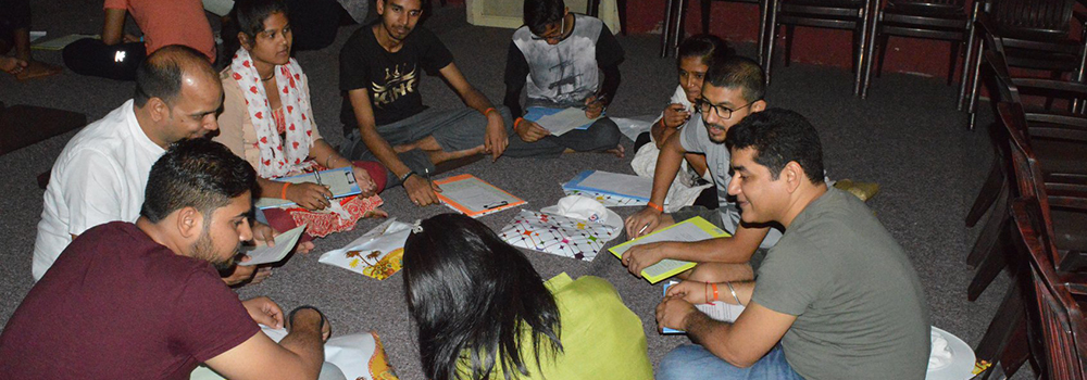


Various Activities Performed by SADLEC Students
Includes academic works such as various projects on countries and others (below), Cultural Programs, Decoration, Sports, Cooking, Debates sessions, etc.
Arab–Israeli relationship
The Arab–Israeli conflict refers to the political tensions and open hostilities between the Arab people of the Middle East and the Jewish community of present-day Israel that have lasted for over a century. Some trace the beginning of the conflict to large-scale Jewish immigration to Palestine, especially after the establishment of the Zionist movement, which intensified with the creation of the modern State of Israel in 1948. This territory was regarded by the Jewish people as their historical homeland, and by the Pan-Arab movement as belonging to the Palestinians, be they Muslim, Christian, Druze or other (and in the Pan-Islamic context, in territory regarded as Muslim lands).
The conflict, which started as a political and nationalist conflict over competing territorial ambitions following the collapse of the Ottoman Empire, has shifted over the years from the large scale regional Arab–Israeli conflict to a more local Israeli–Palestinian conflict, though the Arab World and Israel generally remain at odds with each other over specific territory.
Download project PDFAgrentina
Argentina is a country occupying most of the southern portion, or southern cone, of South America. With an area of 1,073,399 square miles (2,780,092 square km) – more extensive than Mexico and the U.S. state of Texas combined – it is the eighth largest country in the world. Argentina is shaped like an inverted triangle with its base at the top; it is some 880 miles (1,420 km) across at its widest from east to west and stretches 2,360 miles (3,800 km) from the subtropical north to the subantarctic south.
Download project PDFAustralia
Australia is located in the Southern Hemisphere between the Indian ocean and the South Pacific Ocean. Australia is a political federation with a central government (the Commonwealth) and six constituent states (New South Wales, Victoria, Queensland, South Australia, Western Australia and Tasmania). Papua New Guinea, formerly an Australian external territory, became an independent nation in 1975. The most striking characteristics of the vast, three-million square-mile (eight-million-square-kilometre) country are its global isolation, its low relief, and the aridity of much of its surface. Its isolation from other continents explains much of the strangeness of Australian plant and animal life.
Download project PDFBangladesh
Bangladesh (“Land of the Bengalis”) is an independent Asian state located in the delta of the Ganges and Jamuna (Brahmaputra) rivers in the northeastern part of the Indian subcontinent. The country’s official name is the People’s Republic of Bangladesh. The capital is Dhaka.
Download project PDFBhutan
Along the lofty ridges of the eastern Himalayas lies the sovereign Kingdom of Bhutan. (The Kingdom’s name in the official language of Dzongkha is Drukyul.) Bhutan is larger than Switzerland, but has only less then one third as many people. The Kingdom of Bhutan, ‘the land of the thunder dragon’ lies in the eastern Himalayas bordered north by china and on all other sides by India. Its location between the Assam-Bengal Plain of India to the south and the Chinese-occupied Plateau of Tibet to the north gives it considerable geopolitical significance.
Download project PDFBrazil
Federative Republic of Brazil, country of South America occupies half the continent’s landmass. It is the fifth largest nation in the world, exceeded in size only by Russia, Canada, China, and the United States, though its area of 3,300,171 square miles (8,547,404 square km) is greater than that of the 48 contiguous U.S. states. Brazil faces the Atlantic Ocean along 4,600 miles (7,400 km) of coastline and shares more than 9,750 miles (15,700 km) of inland borders with every South American nation except Chile and Ecuador – specifically, Uruguay to the south.
Download project PDFClimate
Climate is the characteristic condition of the atmosphere near the earth’s surface at a given place or over a given region. Components that enter into the description and classification of climate are mostly the same as weather components used to describe the state of the atmosphere at a given instant. If weather information deals with the specific event, then climate represents a generalization of weather. A statement of the climate of a given observing station, or of a designated region, is described through the medium of weather observations accumulated over many years time. Not only are mean, or average, values taken into account, but also the departures from those means and the probabilities that such departures will occur.
Download project PDFInflitration From Bangladesh: Estimates
It is a well known fact that the population of Muslims in India is increasing sharply. Some writers like Koenraad Elst* claim that one reason for this – besides the higher birth rate for Muslims – is the infiltration of Muslims from Bangladesh (earlier East Pakistan). Overall, to some extent, the above claim is true as is borne out by our calculations but it is not a very significant contributing factor – that being the higher birth rate for the Muslims – to the growth of Muslim population in India. We have used the word overall because the infiltration of Muslims in India has not been a one-way street throughout the period of our study (1951-2001). The Hindus have been continuously infiltrating into India throughout the above period but during the first two decades, (1951-71) Muslims actually migrated out of India. According to our calculations, during these two decades (1951-71) a total of 44 lakh 53 thousand Hindus infiltrated into India but there was a net outflow of 8 lakh 35 thousand Muslims from India to East Pakistan (Bangladesh). Some time before East Pakistan became Bangladesh in Dec. 1971, a very large number – about 10 million according to the official figures – of Bangladeshi refugees (both Hindus & Muslims) entered India.
Download project PDFJapan
Japan is a beautiful country. It is the first country in the eastern side so it is called the land of the rising Sun. The country is most wonderful, picturesque, many sided, charming wild and sweet. It is economically one of the most developed and richest countries in the world. Japan is a great economic power, next only to the United States of America. It is in its appearance so much a synthesis of all the other countries of the world from the tropical to the arctic. Japan’s changed name is Nippon. Its capital is Tokyo. Its area is 377,765sq KiloMetres
Download project PDFMyanmar
Myanmar, officially, Union of Myanmar, republic in Southeast Asia, is bounded on the west by Bangladesh; on the northwest by India’s Assam state; on the northeast by China’s Yunnan province; on the east by Laos and Thailand; and on the southwest by the Andman Sea and the Bay of Bengol. The longest land border is shared with China. Myanmar (pronounced myahn-mah) was known as Burma until 1989; the English version of the country’s name was changed by the military government that took over in 1988. Yangon (formerly known as Rangoon) is the capital and the largest city.
Download project PDFNepal
The kingdom of Nepal (Nepali Adhirajya) is a landlocked Asian country in the Himalayan mountain range. It is bounded north by Tibet, on the east by Sikkim and West Bengal, on the south by Bihar and Utter Pradesh. Nepal extents roughly 500 miles (800 kilometers) from east to west and 90 to 150miles from north to south Nepal, long under the rule of hereditary prime ministers favouring a policy of isolation, remained closed to the outside world until a palace revolt in country gained admission to the United Nations in 1955. In 1991the kingdom established a multiparty parliamentary system.
Download project PDFPakistan
Pakistan (the Islamic Republic of Pakistan) is a country in South Asia. It is bounded to the west by Iran, to the north by Afghanistan, to the northeast by China, to the east and southeast by India, and to the South by the Arabian Sea. The territory has an area (excluding the Pakistani-held part of Jammu and Kashmir) of 307,374 square miles (796,095 square kilometers). The capital is Islamabad. Pakistan was brought into being at the time of the Partition of British India in 1947 in order to create a separate homeland for India’s Muslims in response to the demands of Islamic nationalists, demands that were articulated by the All India Muslim League under the leadership of Mohammed Ali Jinnah.
Download project PDFSri Lanka
Sri Lanka is a small tear-drop shaped independent island in the Indian Ocean about 80km. east of the southern tip of India. Sri Lanka is separated from India by the narrow and shallow Palk Strait. “Sri Lanka is located between Latitudes 5.55’ and 9.51’ North and Longitudes 79.41’ and 81.53’ East, and has a maximum length of 268 miles (432 kilometers) and has a maximum width of 139 miles (224 kilometers). Proximity to the Indian subcontinent has facilitated close cultural interaction between Sri Lanka and India from ancient times. At a crossroads of maritime routes traversing the Indian Ocean, Sri Lanka has also been exposed to cultural influences from other Asian civilizations.
Download project PDFUnderstanding Calendars
A calendar is a system of organizing days for social, religious, commercial, or administrative purposes. This is done by giving names to periods of time, typically days, weeks, months, and years. The name given to each day is known as a date. Periods in a calendar (such as years and months) are usually, though not necessarily, synchronized with the cycles of some astronomical phenomenon, such as the cycle of the sun or the moon. Many civilizations and societies have devised a calendar, usually derived from other calendars on which they model their systems, suited to their particular needs.
Download project PDF